St. John, Then and Now
In the 1960s the National Park Service was given funds to photograph and document the historic structures on St. John and also reconstruct and stabilize a few of the most visible locations. The NPS, with a lot of help from The Friends of the VINP and many volunteers, has done a good job over the years of slowing or halting the decay of the structures at Cinnamon Bay, Annaberg, Gift Hill, Catherineberg, and the sugar factory at Reef Bay. Recently, the ruins at Trunk Bay were stabilized but the effort was too little too late. The old structures at Caneel Bay have been cared for by the Caneel Bay Plantation Resort. Many of the other structures within the park have been allowed to collapse and were abandoned to the jungle. Two of these neglected structures are the Mary Point Estate House and the Reef Bay Great House, both of which are listed in the Historic American Buildings Survey. (The black and white photographs below are from a collection at the Library of Congress. This collection is available OnLine, Browse the Virgin Islands, St. John photos.) I have assembled a short set of photos showing these two estate houses as they were and what is left today. As you look through them remember that the NPS mission is to "Preserve and Protect".
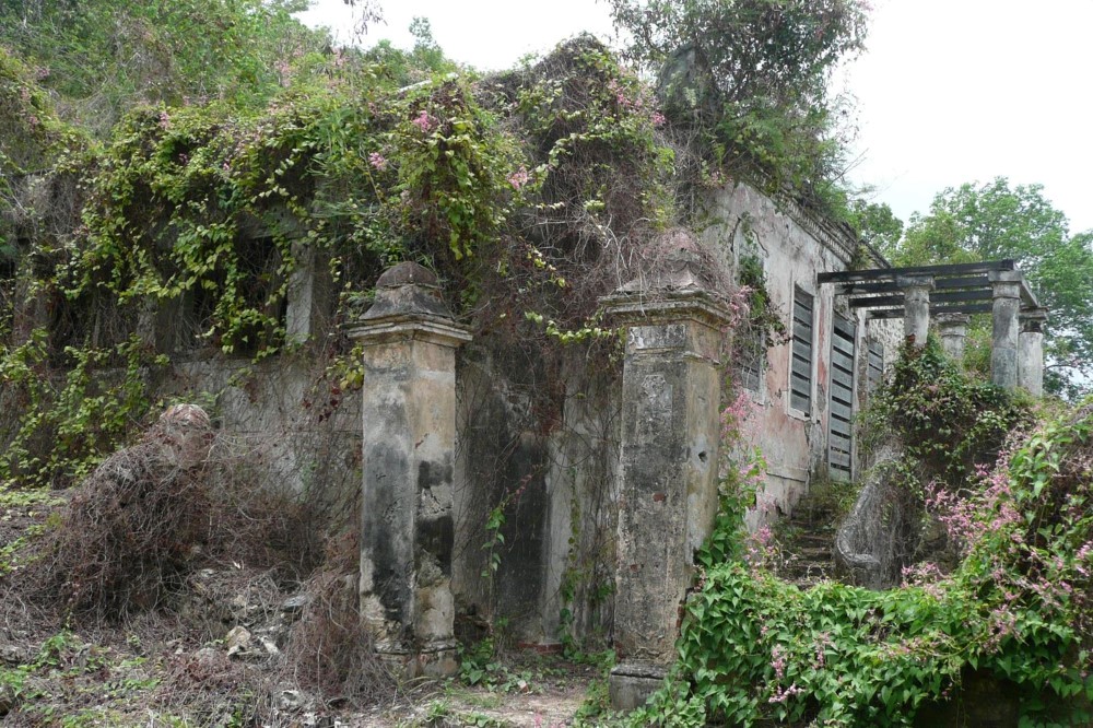
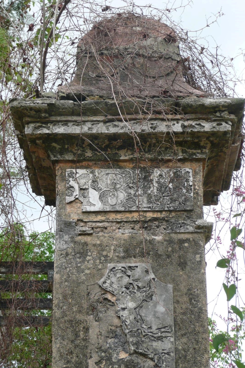
Reef Bay Great House
First, I would like to copy here the description of the Reef Bay Great House from the NPS web site:
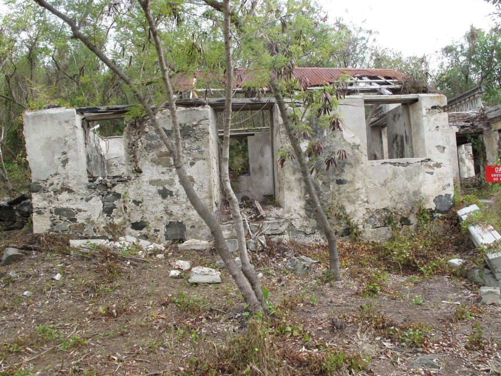
"The Reef Bay Great House Historic District represents the domestic aspects of the Great Estate which oversaw the sugar production found in the Reef Bay Sugar Factory Historic District. The Great House, originally associated with the Par Force Estate, is one of the most important architectural monuments in the park. The existing building dates from the early 19th century, but the stone foundation of an earlier wood building remains within its walls."
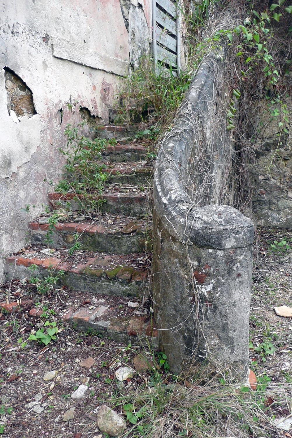
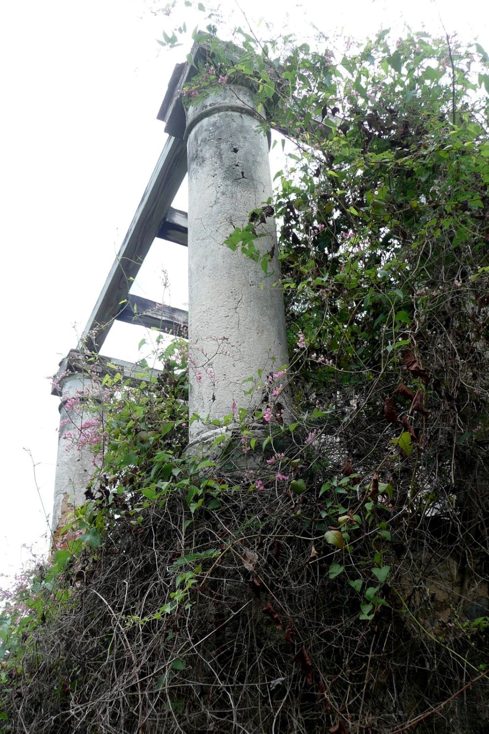
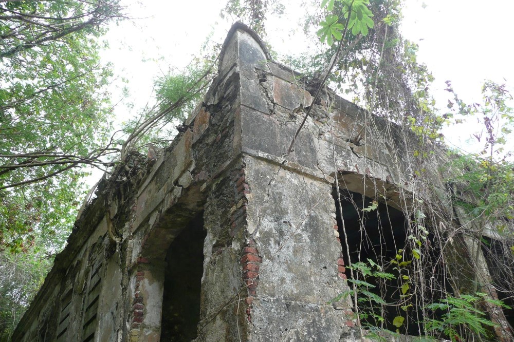
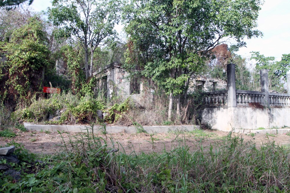
A photographic history of what has happened to this building since 1960 is below, in chronological order. Please take the time to read the story of the Reef Bay Plantation which is available HERE and also review the set of architectural drawings made in the survey which are available HERE.
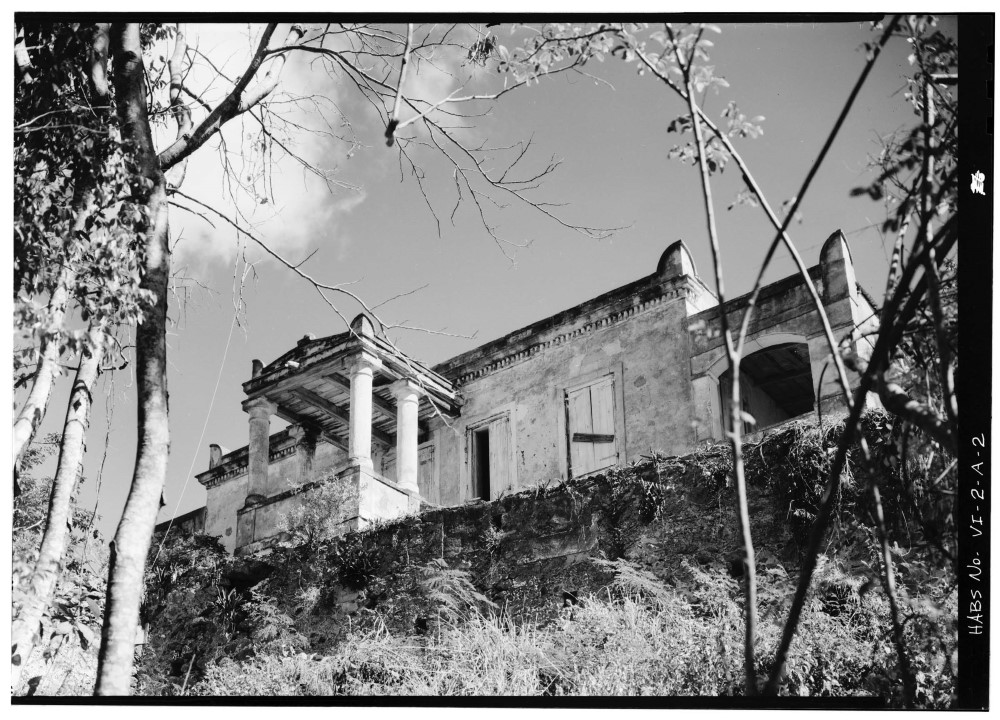
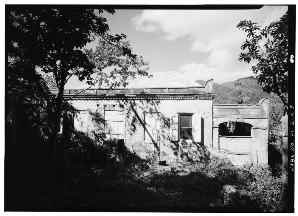
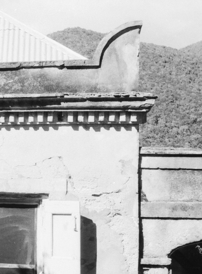
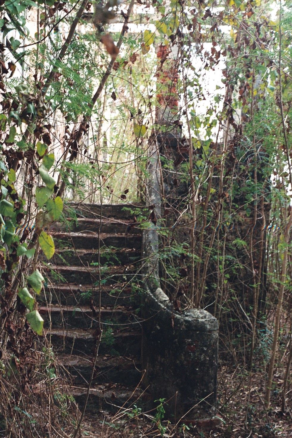
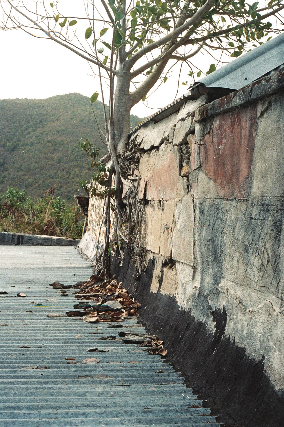
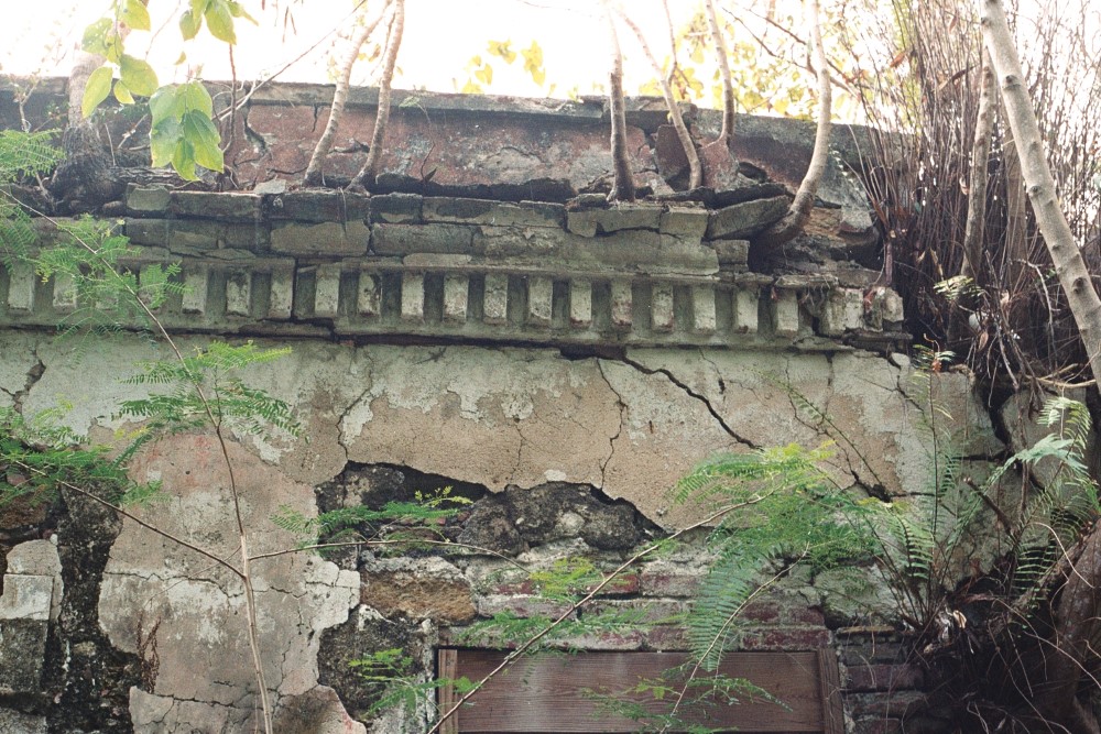
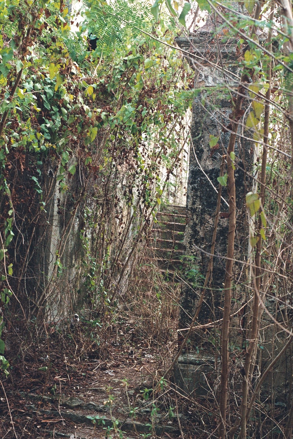
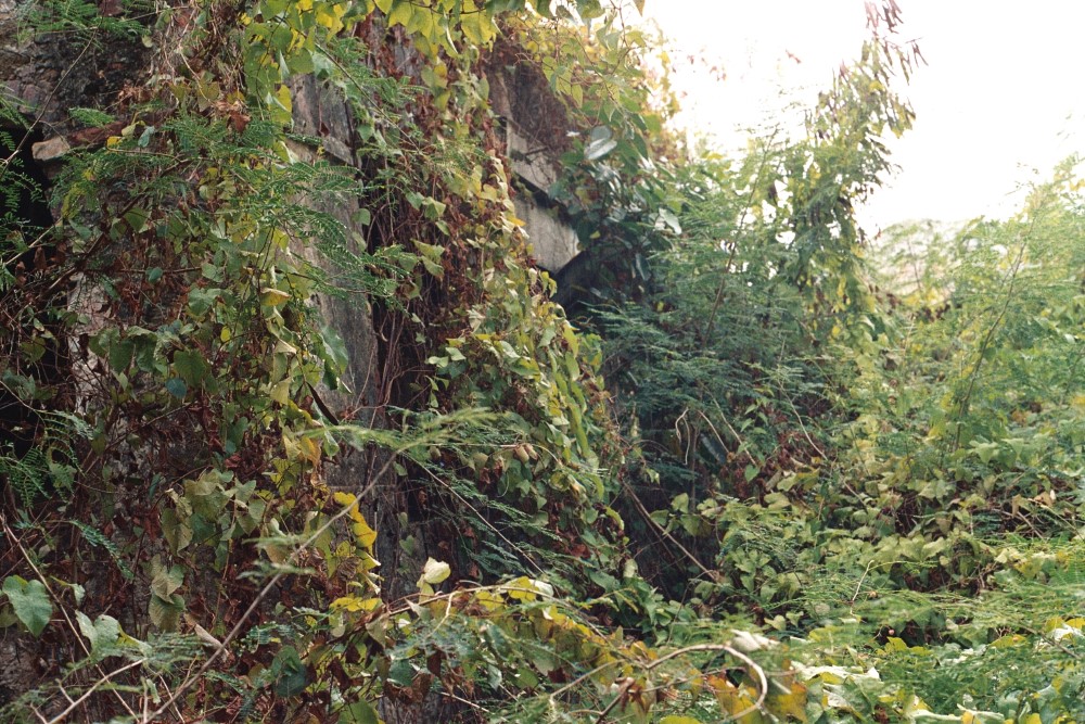

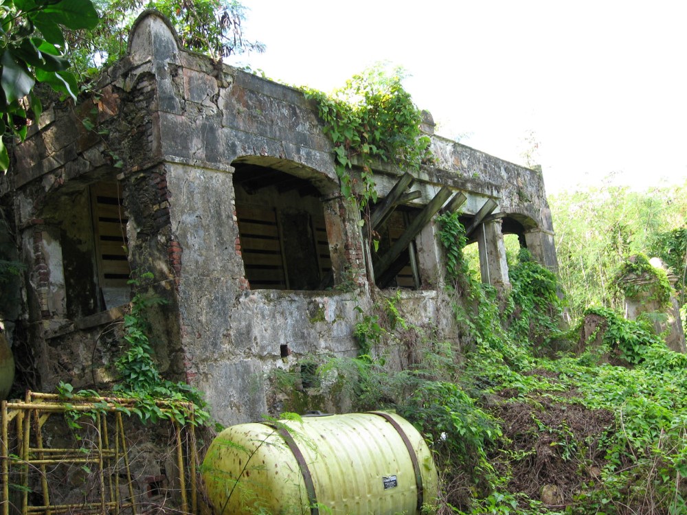
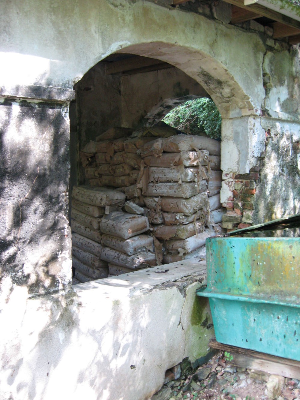

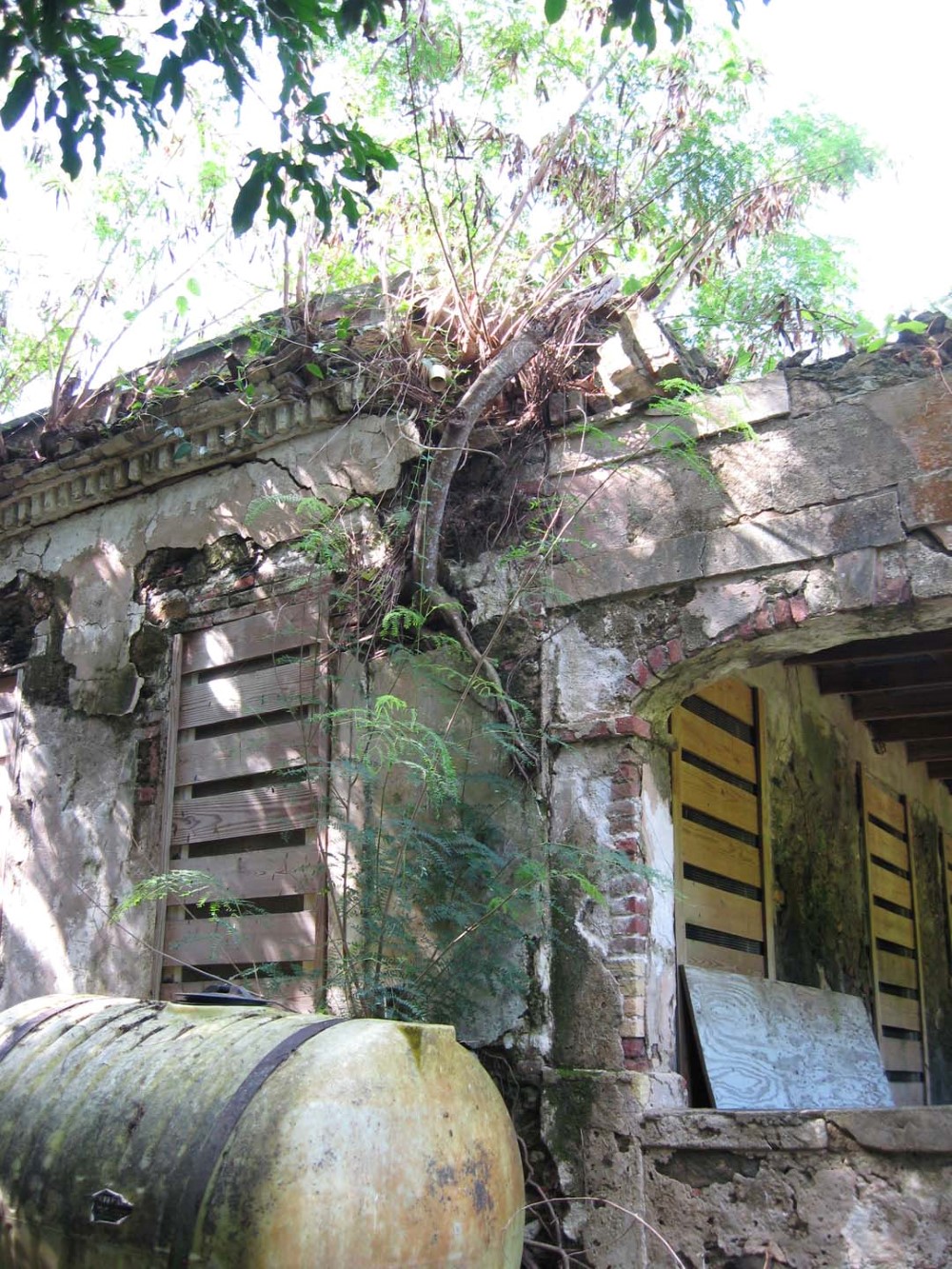
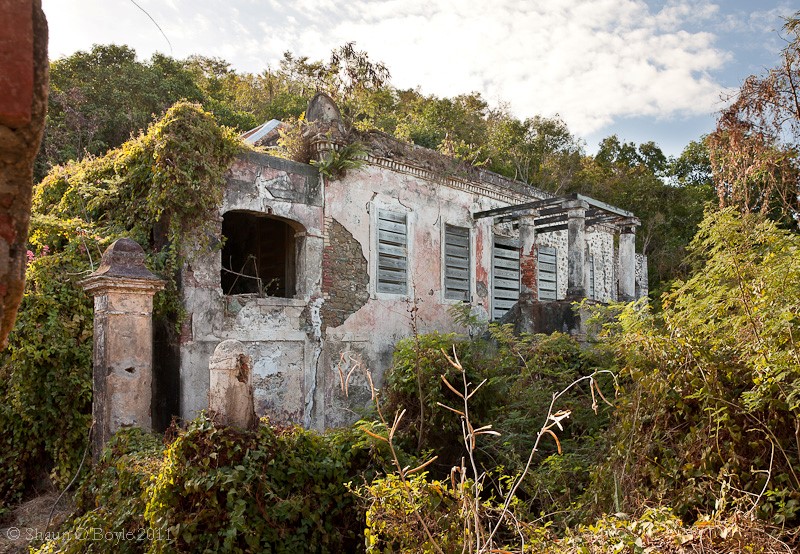
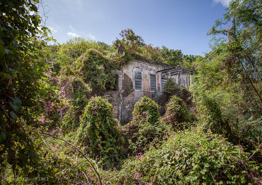

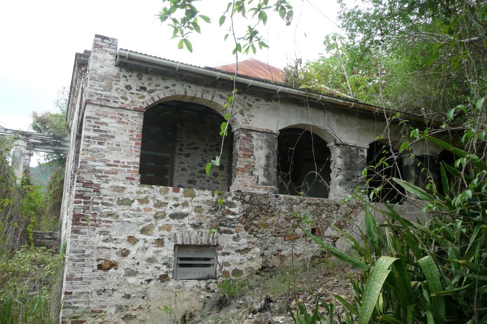
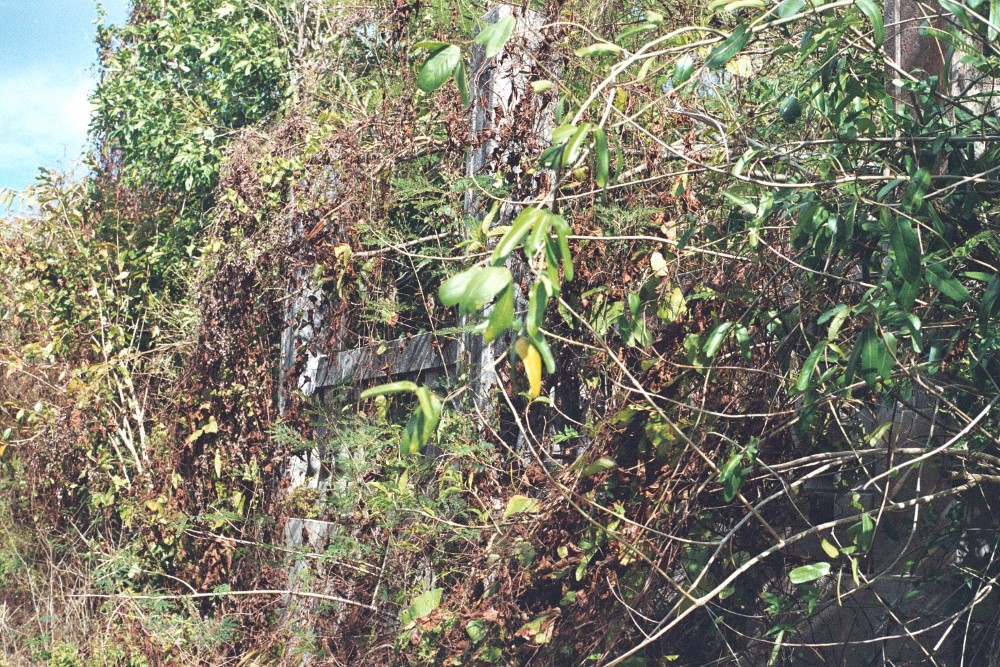
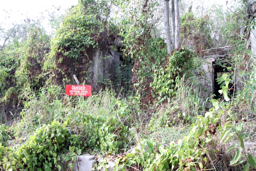
You can see that by the time I started taking pictures here in 2005 the vegetation was well established in the mortar of the building. In 2009 a volunteer group cleared around the building so you could get a better view of the big picture. The scaffolding, water tanks, and tons of cement piled inside the building are left from an earlier NPS project to stabilize the building. I believe they ran out of money and the project was cancelled. If the NPS had at least sprayed the building with Roundup or other suitable herbicide on an annual basis, much of the damage to the building could have been avoided. You can see from the last few pictures how fast the vegetation on St. John reclaims any cleared space if someone doesn't stay on the job. It wouldn't have cost much.
I recently received a trip report from Les Bramley who visited St. John in May of 2013. Attached here are a set of photos he took of the Reef Bay Estate great house. I am amazed and pleased to see that the Reef Bay Estate House has recently been nicely cleaned up. Thank you whoever did it! His photo taken inside the structure is great.
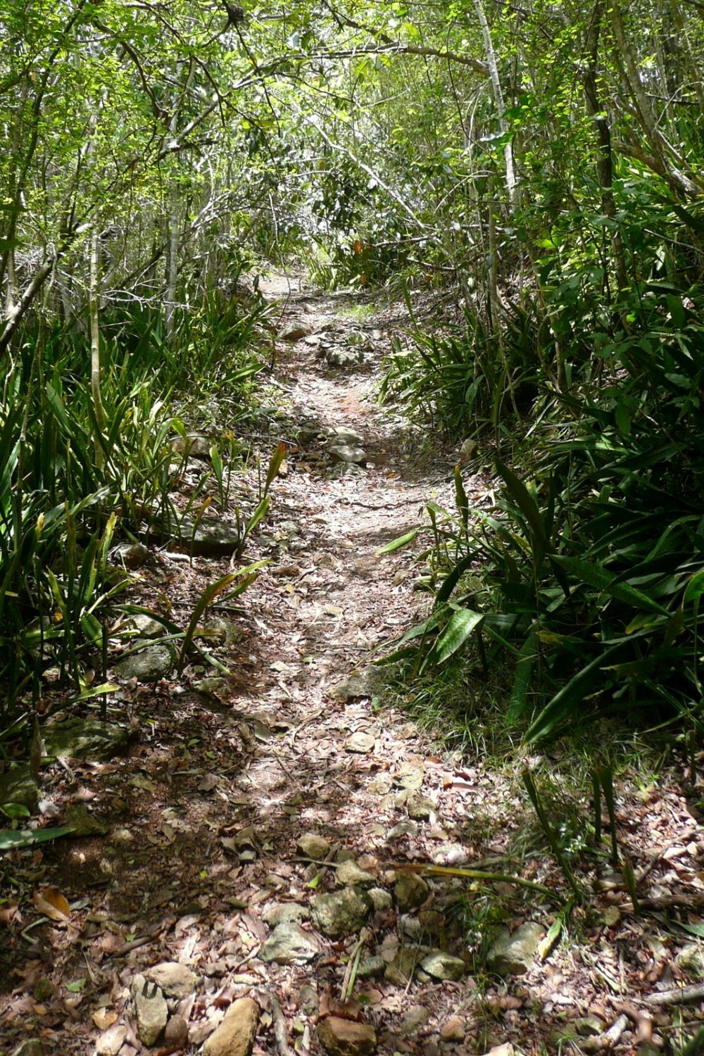


As you walk along the Lameshur Bay trail you can see that the NPS bulldozed (and destroyed) the old Danish road so they could more easily get materials to the site.
One amusing note is the story of how they got the Navy to fly in a generator to the site with a helicopter. The first attempt ended with the generator being dropped in the ocean thus causing St. John residents to demand that any further helicopter missions would be banned from flying over populated areas, preferably staying out over the ocean.
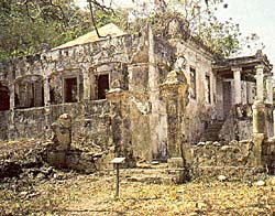
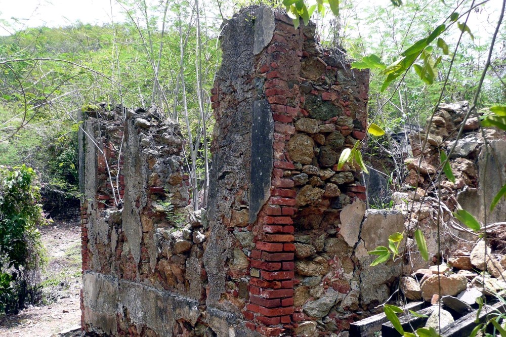
Mary Point Great House
The Mary Point Great House, which is located on the Francis Bay Trail, doesn't look like much even in the 1965 photos. By that time, the NPS had boarded the place up and I have not found any better or earlier photos. To get an idea of what the place was like when the NPS took ownership please take the time to look at the architectural drawings HERE. It is sad that the building was left to totally decay. The photos below tell the story better than words.


Lameshur Estate Great House
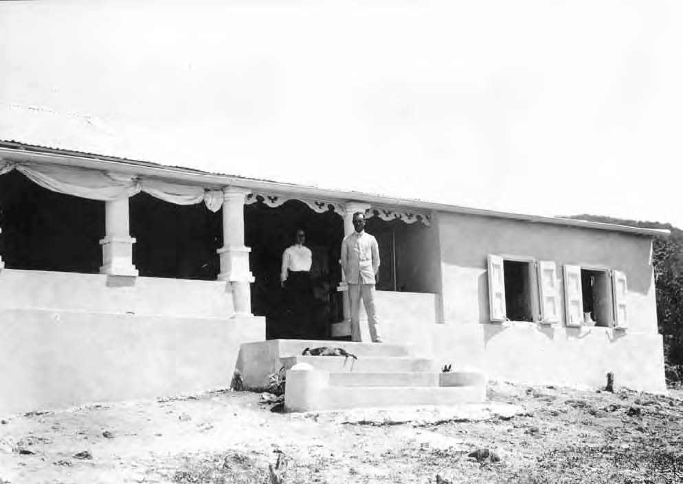
The Lameshur Estate Great House is actually in decent condition now. Here is a picture of what it looked like in 1916.
Sadly, the NPS has converted the Lameshur Estate Great House into a Ranger Residence and it is off limits to the public. The history of the place is gone. If you go to Caneel Bay Plantation you will see that those historic ruins that have been taken care of by people that cared.Coral Bay, Cruz Bay, and much of the island outside the National Park have been over run by houses. The silt that runs down from all those building sites and dirt roads has contributed to the killing off of most of the coral reefs. At least, the National Park has prevented the island from being totally developed.
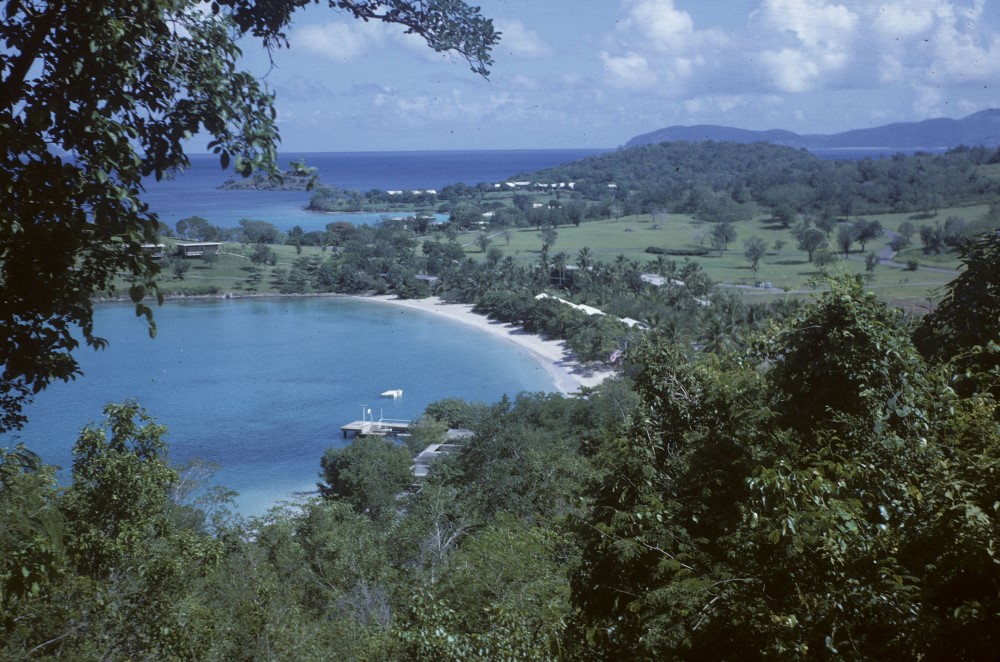
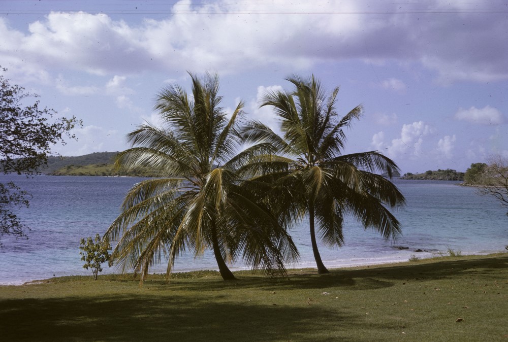
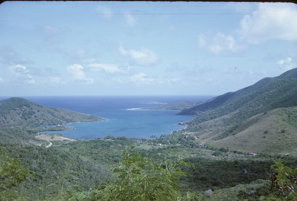
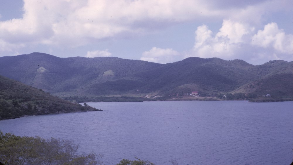
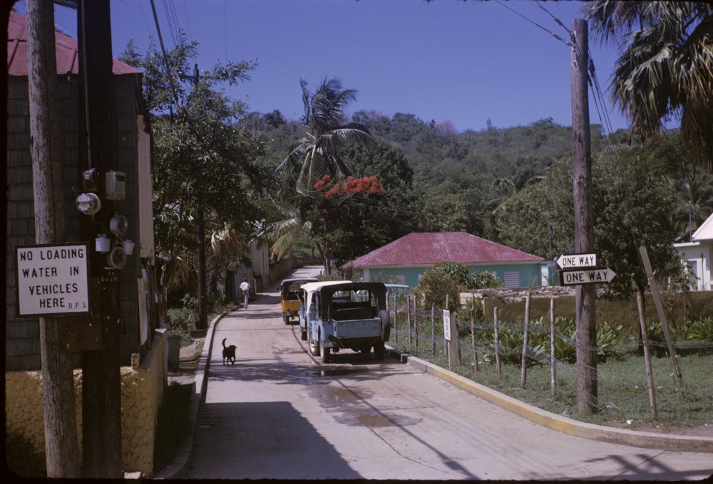
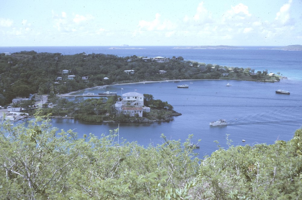
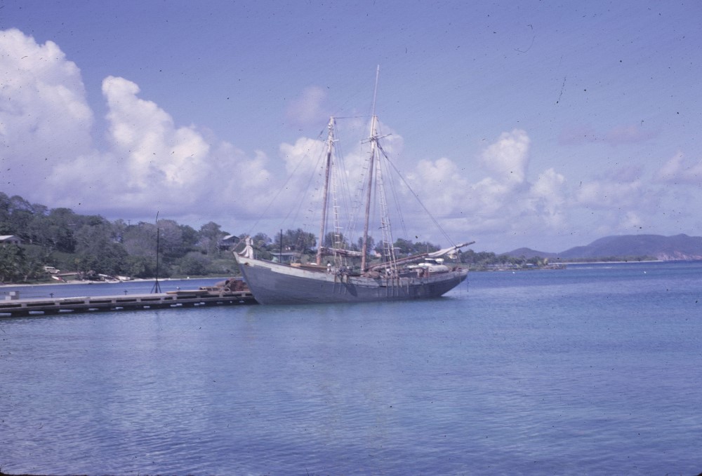
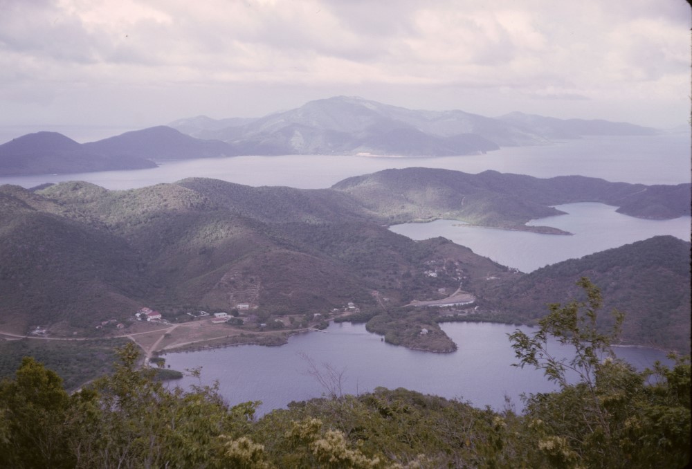
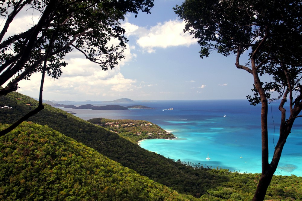
I have attached a few photos of St. John from years ago. These just give a hint at how beautiful a place it was many years ago. If I had known what was going to happen, I would have taken many more. St. John is still a beautiful place but as you look around, you will also see how much has been lost.


The St. John Historical Society also has quite a few nice old photos on their web site.
http://stjohnhistoricalsociety.org/media/photos/
The National Parks Conservation Association has given Virgin Islands National Park a fairly poor report card. I agree with most of what they have to say but blaming the decay on lack of funding is just wrong. It isn't the lack of money that has allowed the place to decay. It is the lack of any desire on the part of the Virgin Islands National Park to do much of anything. See the report below.
Virgin Islands National Park
 Center for the State of the Parks: Park Assessments Published March 2008
View Full Report (PDF, 4.6 MB, 48 pages)
This report by NPCA's Center for State of the Parks describes Virgin Islands National Park's and Virgin Islands Coral Reef National Monument's diverse natural and cultural resources, summarizes current conditions of those resources, illuminates resource threats, and describes some of the ways resource managers are working to improve resource conditions.
According to this assessment, the natural resources of Virgin Islands National Park and Virgin Islands Coral Reef National Monument are in fair condition, scoring an overall 73 out of 100 points. The report cites concerns about the effects of global climate change on sensitive coral reefs, and warns that development within park boundaries is causing the proliferation of damaging, non-native species, as well as wildlife habitat fragmentation.
The new assessment rated the park's cultural resources in "poor" condition, scoring an overall 55 out of 100 points. Historic structures and archaeological sites from the plantation era and other significant periods of human occupation are at risk of deterioration, vandalism, and poaching because the park does not have sufficient funds or staff to locate, document, protect and properly maintain all of them.
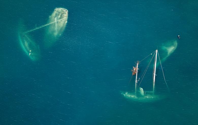
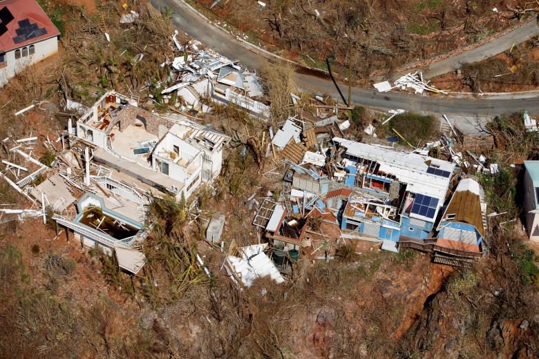
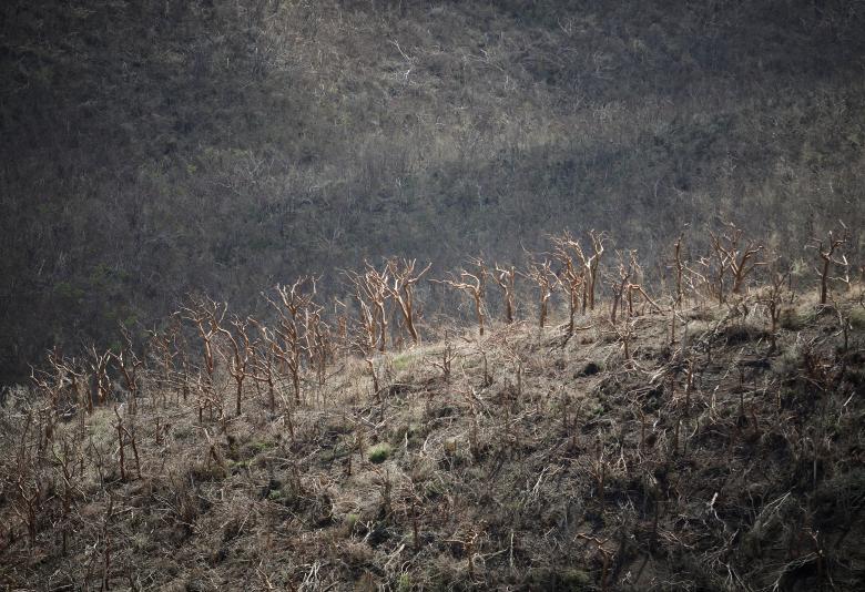
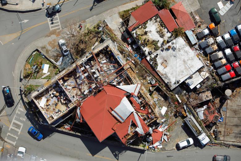
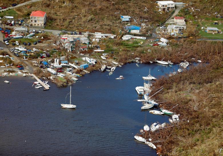
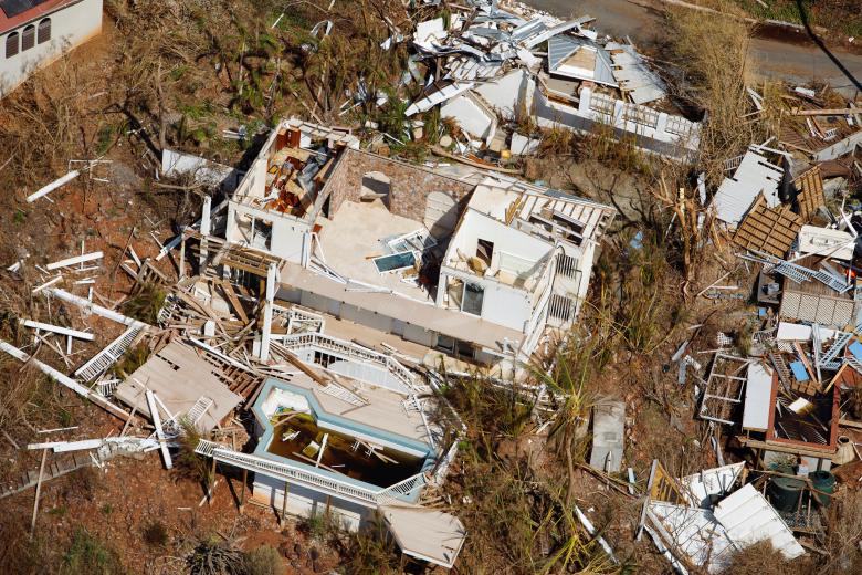
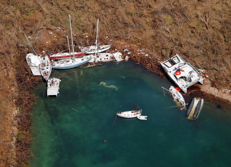
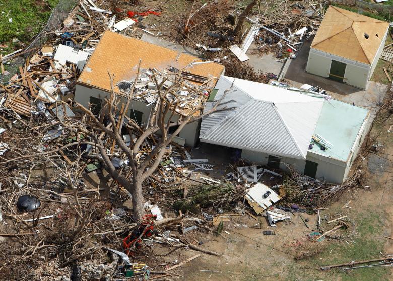
Virgin Islands: After Irma, Sept 18, 2017
Reuters has put together a slide show that shows some of the aftermath of Hurricane Irma on St. John. View The original HERE
I have chosen a few of these photos specific to St. John: