I would like to share the maps I have made and some of the other information I have collected with other hikers. St. John, USVI and the Ossipee Mountains of New Hampshire are great destinations to hike and explore. Below I have provided copies of the maps and photos that you can download. Some of the files are large but that was necessary to get sufficient resolution to make them useful. I have provided the Adobe Illustrator files for both maps so that you can easily edit the maps and add or delete information for your project.
None of this information is copyrighted and you can use it for any purpose you would like. I do ask that if you make printed copies of the maps to sell or distribute that you do a good job and note that you have printed a COPY of my map or remove the Trail Bandit title and reference to my name, phone number etc. from what you print. I have seen copies of my St. John map made on cheap paper on inkjet printers and the users were complaining that the maps were "a piece of crap".
High Resolution Free Downloads
(hover over thumbnail to preview a larger version, some of these files are big)
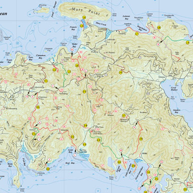
 2014 St John |
|
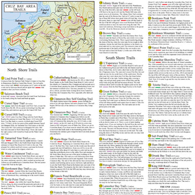
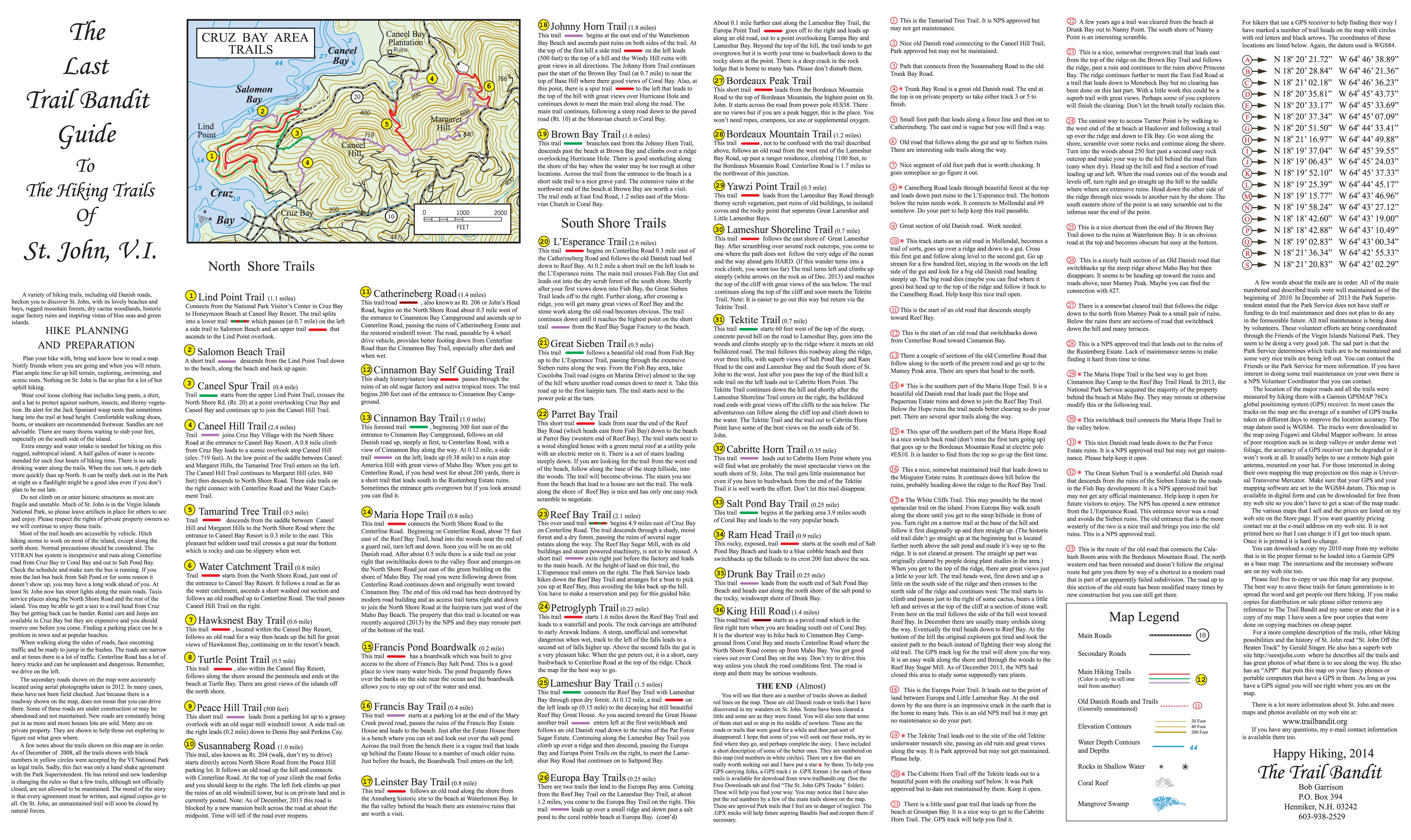 2014 St John |
|

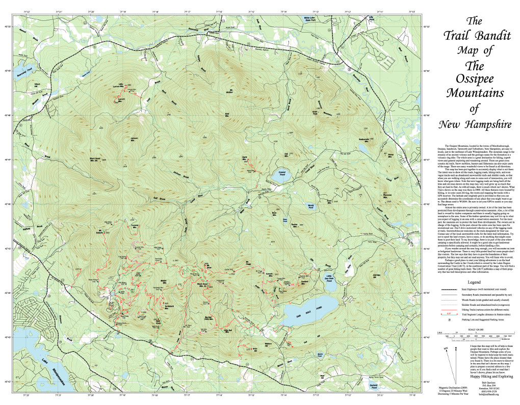 Ossipee Map |
|

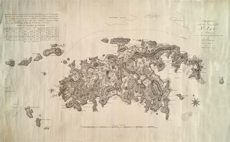 Oxholm 1800 |
|

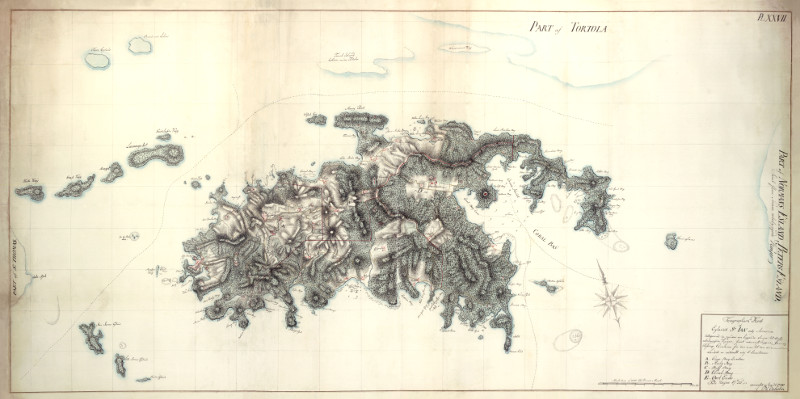 Oxholm 1780 |
GPS Format Maps and Tracks

|
|

|
|

|
|

|
Illustrator Vector File Free Downloads

|
|

|
|

|
